
Is Whitefield a City or Town?
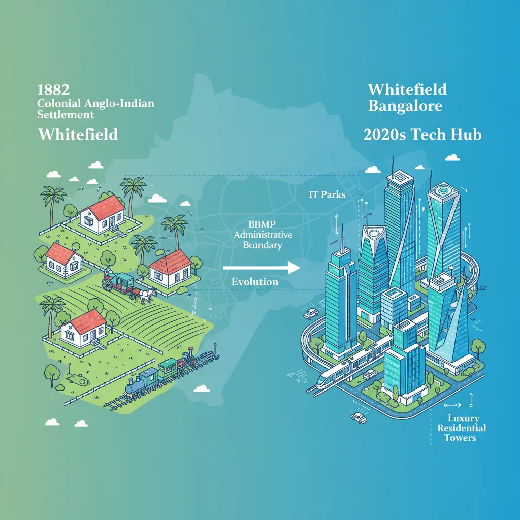
Whitefield is officially a major urban neighborhood and suburb within the city of Bengaluru, governed by the Bruhat Bengaluru Mahanagara Palike (BBMP), rather than a separate standalone city or town. Established originally in 1882 as a quaint agricultural settlement for Eurasians and Anglo-Indians, Whitefield transitioned administratively from a Town Municipal Council into the Greater Bengaluru municipal limits during the corporate boundary expansion.
Because it functions as a self-sufficient ecosystem housing global technology capitals like the International Tech Park Bengaluru (ITPB), premium lifestyle corridors, and ultra-luxury high-rises, it is widely referred to as a "city-within-a-city" in everyday real estate conversation. However, it remains legally and geographically integrated into the BBMP East Zone (Mahadevapura division) of Bengaluru Urban.
From Colonial Enclave to Urban Super-Hub
To understand Whitefield's classification, a brief look at its infrastructure timeline shows how it evolved from an isolated country outpost into a core engine of the Karnataka state economy:
- The Historical Anchor (1882): The Maharaja of Mysore granted nearly 4,000 acres of land to the Eurasian and Anglo-Indian Association, creating a self-sustaining farming community arranged in concentric circles around a central village green.
- The IT Revolution (1994–1998): The establishment of the Export Promotion Industrial Park (EPIP) zone and ITPB completely transformed the landscape, turning agricultural farmlands into a high-density commercial zone.
- The Governance Shift (2007): The state government officially dissolved the local Whitefield City Municipal Council, absorbing the entire micro-market into the direct administrative control of the BBMP.
Today, average property values for residential projects in Whitefield have surpassed ₹13,000 to ₹14,000 per square foot, placing it among the most premium real estate markets in Southern India.
Whitefield vs. Surrounding Micro-Markets
Because core Whitefield has become highly dense, real estate investors frequently evaluate it alongside newer, adjoining growth corridors. The breakdown below outlines how Whitefield compares to its emerging neighbor, Hoskote, along the National Highway 75 belt:
| Structural Parameter | Whitefield Core Suburb | Hoskote Growth Corridor |
|---|---|---|
| Governing Administrative Body | BBMP (East Zone / Mahadevapura) | Hoskote Town Municipal Council |
| Official District Classification | Bengaluru Urban District | Bengaluru Rural District |
| Postal Code Identification | 560-Series (e.g., 560066, 560067) | 562-Series (e.g., 562114) |
| Mass Transit Integration | Active Namma Metro Purple Line | Linked via Outer Ring Road & STRR |
| Prevailing Base Property Rates | ₹13,000 – ₹17,000 per Sq.Ft. | ₹9,500 – ₹12,000 per Sq.Ft. |
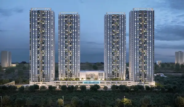
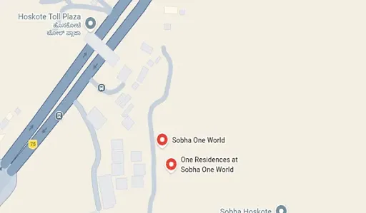
Due to Whitefield’s high vertical density, many premium homebuyers are looking toward master-planned luxury developments right at its border—such as the massive 300-acre Sobha One World township near the Hoskote toll gateway—to find larger layouts and extensive open spaces while keeping their daily commute to Whitefield's tech parks under 20 minutes.



 24/7 Support
 Free Site Visit
 Unmatched Price